Here are some photos of the Utica area.

Here is Utica looking east. Ottawa Yard is just around the curve to the right.
From left to right: Belrose Silica lead, Main 2 and 1, PQ Sand track,
PQ Dry Chemical Track, PQ Wet Chemical Track
PQ Dry Chemical Track, PQ Wet Chemical Track

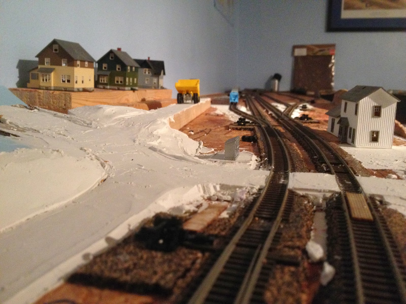
Another view of the same area. You see where the Belrose Silica (left) track runs up to the corner of the layout. It will be heavily wooded in this area.

A view of the sand hoppers lined up at Belrose Silica.


At Utica, looking west toward LaSalle. That is the Utica/LaSalle station to the left.
Where the large dump truck is located is the access road to Belrose Silica. The area between the tracks and houses will be heavily forrested. You will barely see this road that leads up to the mine.
A track level view from the west crossover at Utica/LaSalle. You can see the Mill Street road crossing in front of you. Mill Street continues up the hill and provides access to the neighborhood. The driveway to the left is from Westclox. You can also see the dump truck on the access road to Belrose Silica.

Another view but from the Westclox driveway.

A view from Utica Station looking up toward the houses on the hill.

A view from one of the houses looking toward Utica station.

A view from one of the houses on the hill looking east toward PQ and Ottawa Yard in the distance.

Looking west from the east crossover at Utica. PQ is on the left, Belrose Silica on the right.
No comments:
Post a Comment